


Land Use/Land Cover Mapping of Uttarakhand State at Various Levels using High-Resolution Satellite Data
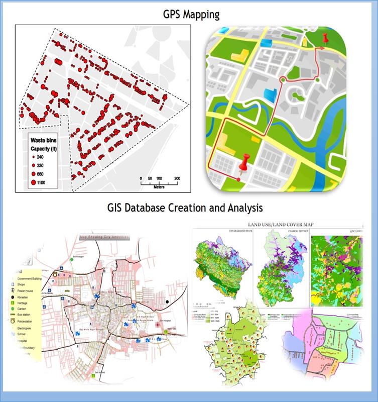
This state-funded project aims to create and update Land Use and Land Cover (LULC) maps for the entire state of Uttarakhand at various levels, including cities, towns, blocks, districts, and the state as a whole. The project involves large-scale mapping of major towns, cities, blocks, and districts using high-resolution satellite data. These maps essential tools for environmental planning and social-ecological modeling, providing crucial information for risk assessment, natural resource management, and effective decision-making. To ensure data accuracy, an extensive GPS-based field survey is conducted across various parts of the state.
Beneficiary:
All the Line Department, Govt. of Uttarakhand
Benefits:
Base Line information for Planning
How To Apply
For more details, visit USAC’s official website ‘www.u-sac.uk.gov.in’