


Village-level Groundwater Prospect and Sustainability Mapping on 1:10k for Uttarakhand
Village-level Groundwater Prospect and Sustainability Mapping (GRAM) in Uttarakhand
The Uttarakhand Space Application Centre (USAC) is implementing the “Village-level Groundwater Prospect and Sustainability Mapping on 1:10k for Uttarakhand – (GRAM)” project. This initiative is conceptualized and funded by the National Remote Sensing Centre (NRSC) of the Indian Space Research Organization (ISRO). The primary aim is to develop a system for assessing groundwater prospects, quality, and sustainability at a 1:10,000 scale, supporting the Har Ghar Jal program for groundwater source identification and long-term sustainability.
Currently, groundwater prospect and sustainability mapping at a 1:10,000 scale is being carried out in the proximal and distal parts of the paleo Donga Fan. This hydrogeological mapping emphasizes the critical need to evaluate groundwater availability and quality, especially in Uttarakhand.
Objectives of the Project
- The main aim of this inventory is to conduct detailed hydrogeological mapping by integrating various thematic layers, three-season satellite data, and Digital Elevation Models (DEM).
- Perform pre- and post-groundwater quality mapping using field data.
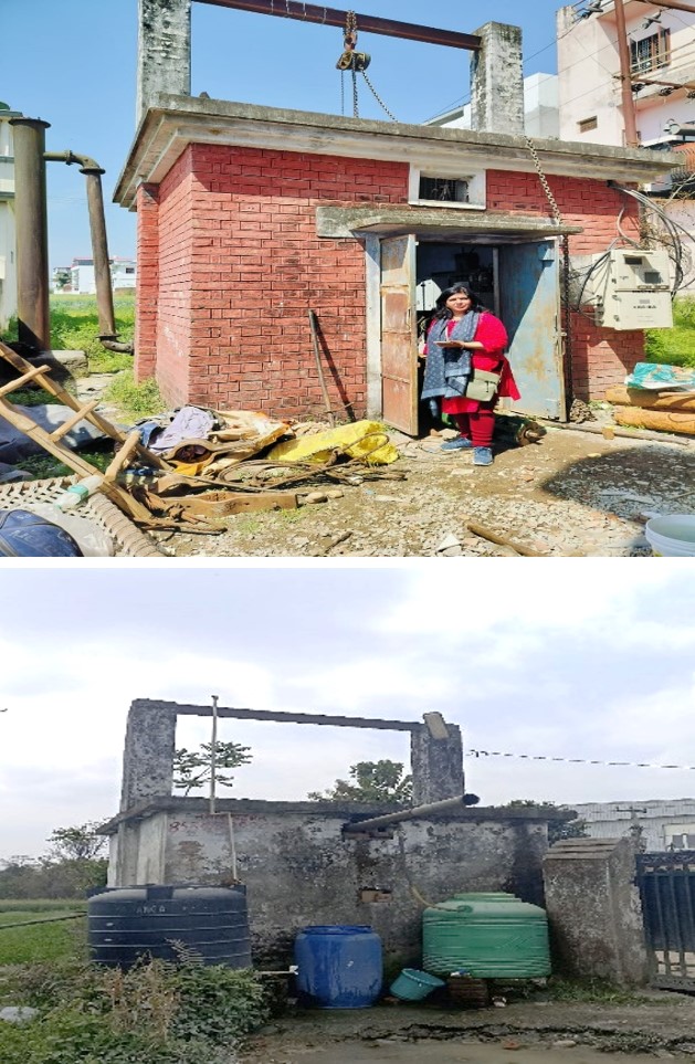
- To collect additional groundwater data using a mobile application and validate groundwater sources through field surveys.
Beneficiary:
Rural Drinking Water Mission, R & D organizations, State Line Departments
Benefits:
Sustainable Groundwater Management for critical and water-stressed areas of Uttarakhand
How To Apply
For more details, please visit USAC’s official website ‘www.u-sac.uk.gov.in’